
Loading…
Tips, guides, and planning advice for your next float trip
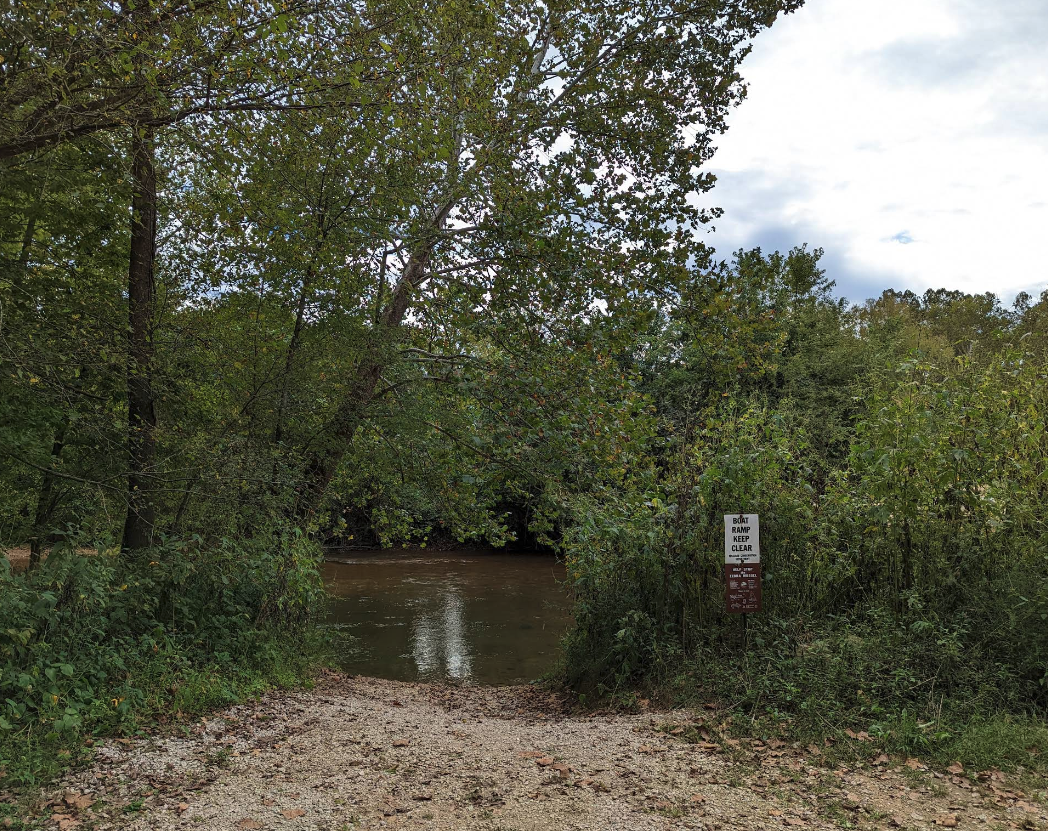
Float Courtois Creek — Huzzah's quieter sister near Steelville — with live conditions, mile-by-mile sections, Bass River Resort, the Berryman Trail, the shared Steelville gauge, and a built-in trip planner.
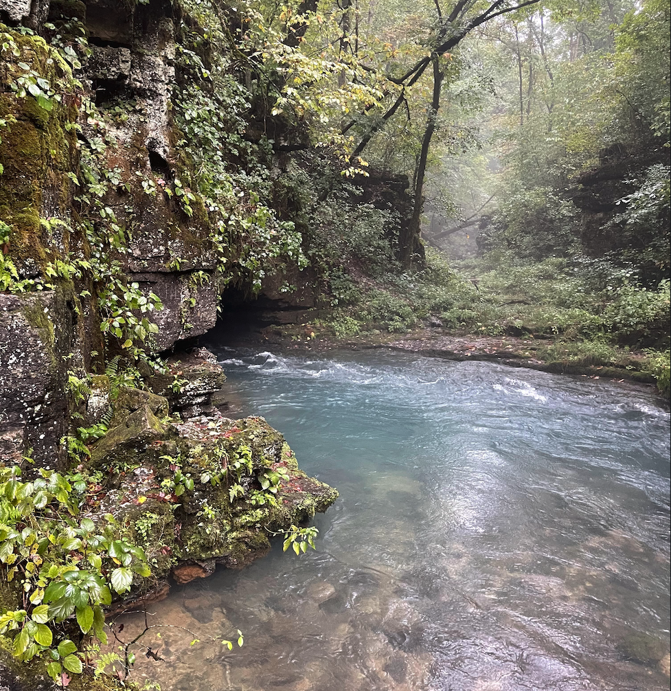
Float Missouri's Wild & Scenic Eleven Point with live conditions, mile-by-mile sections, Greer Spring, USFS float camps, the Bardley gauge, the outfitter directory, and a built-in trip planner.
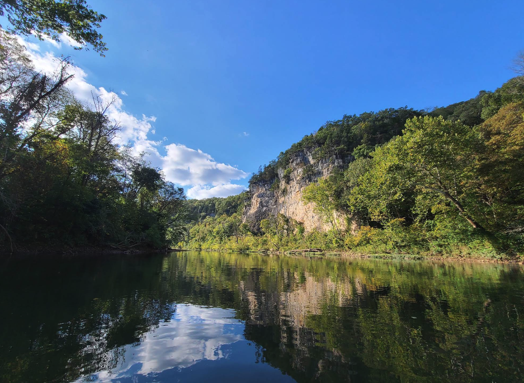
Float the Meramec — St. Louis's closest quality float — with live conditions, mile-by-mile sections, Onondaga and Meramec Caverns, Maramec Spring, the outfitter directory, fishing regs, and a built-in trip planner.
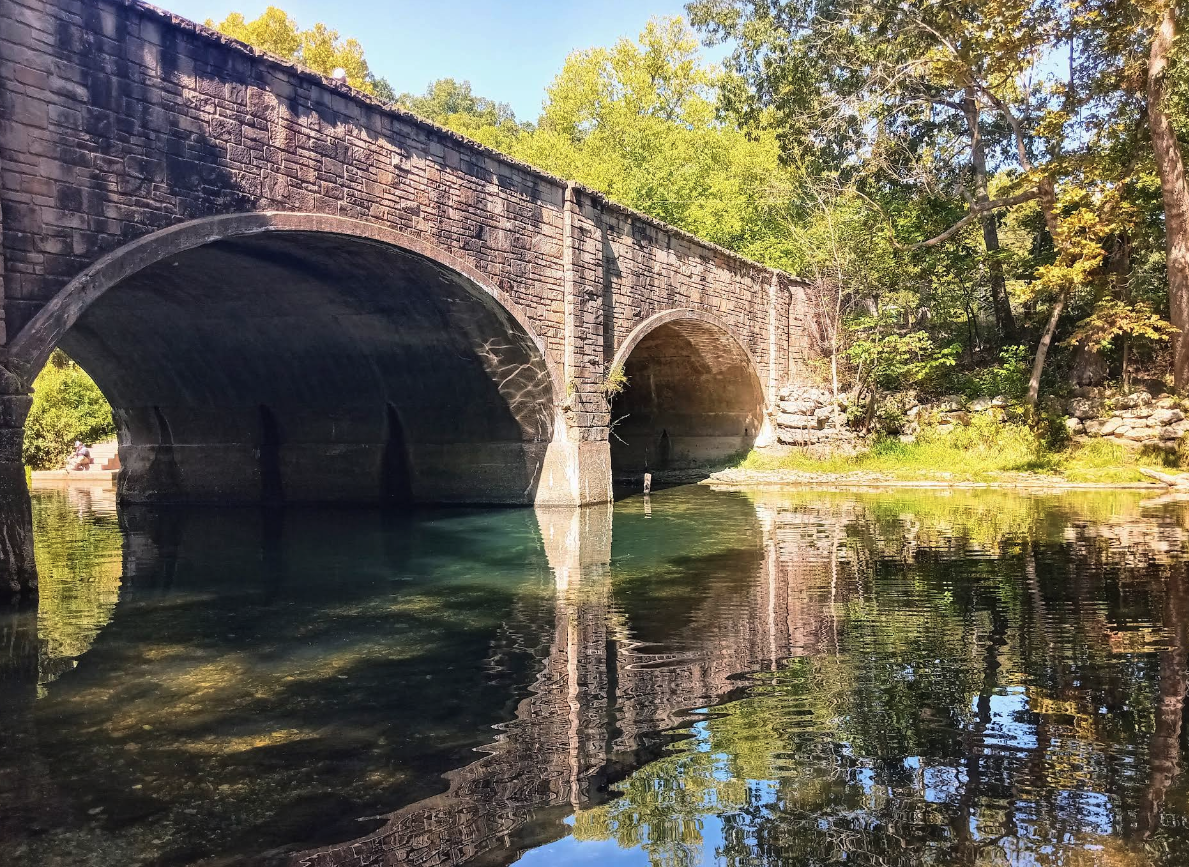
Float the Niangua near Bennett Spring with live conditions, mile-by-mile sections, the spring-fed base flow that keeps it floatable all summer, the Windyville gauge, the Tunnel Dam take-out, and a built-in trip planner.
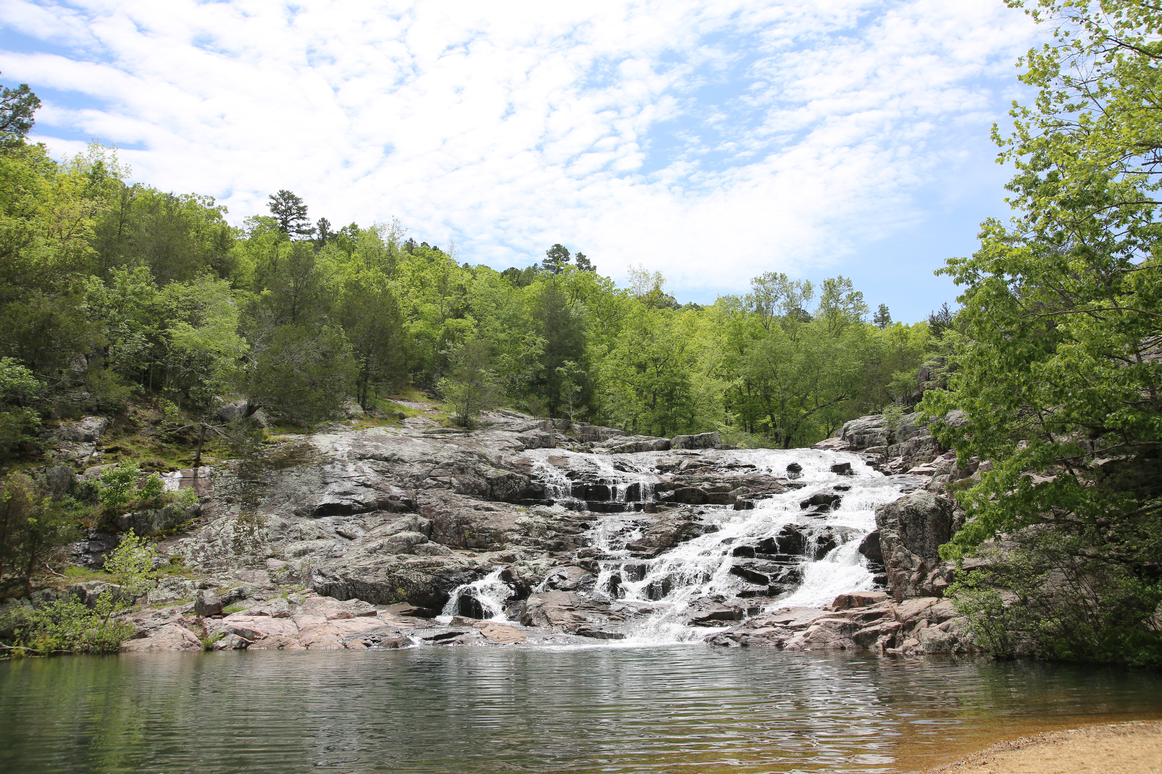
Float the Jacks Fork with live conditions, mile-by-mile sections, springs and Jam Up Cave, the full outfitter directory, the Alley Spring gauge, and a built-in trip planner — your complete guide to Missouri's wildest ONSR float.
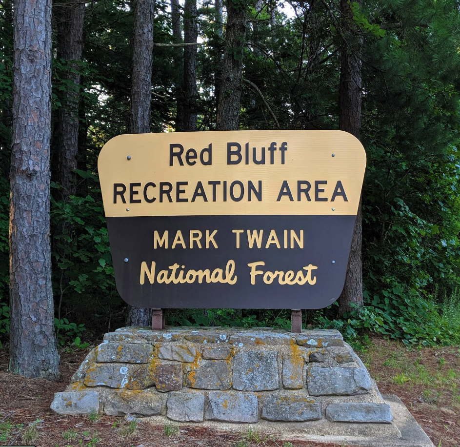
Float Huzzah Creek from Steelville with live conditions, mile-by-mile sections, Dillard Mill and Red Bluff, the outfitter directory, the shared Steelville gauge, and a built-in trip planner — the clear Meramec tributary made for day trips.
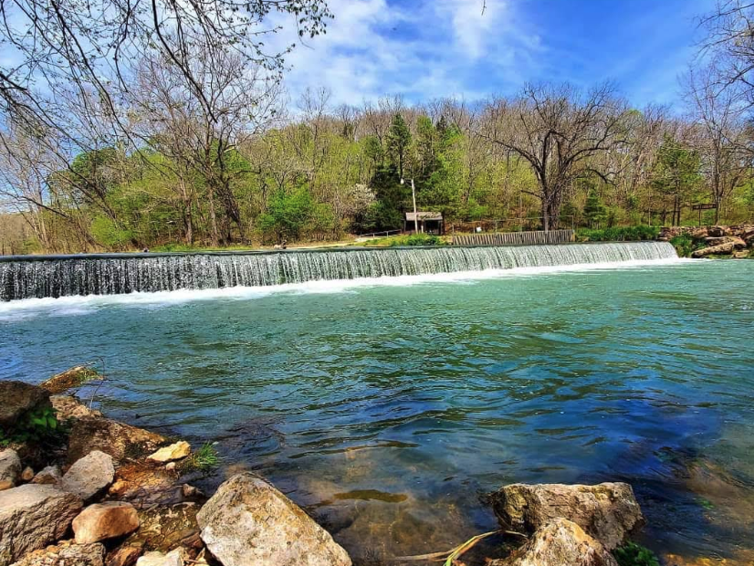
Live conditions, the best float sections by mile marker, springs to stop at, the full outfitter and campground directory, and a built-in trip planner — your complete guide to floating Missouri's Current River.
Everything you need to know for your first float trip in Missouri. Learn about choosing rivers, essential gear, safety protocols, camping, and Leave No Trace principles.
Ready to start planning your float?
Plan Your FloatEddy · Water data from USGS
© 2026eddy.guide · For informational purposes only