Jacks Fork River
Float Trip Guide.
Live conditions, the best float sections by mile marker, the springs and the famous Jam Up Cave arch, the full outfitter and campground directory, and a built-in trip planner — your complete guide to floating Missouri's Jacks Fork.
Today on the Jacks Fork
Eddy reads the gauge, the trend, and the forecast and writes a fresh take a few times a day. Use it as one input alongside your own judgment, the outfitter you’re renting from, and the most recent NPS advisories.
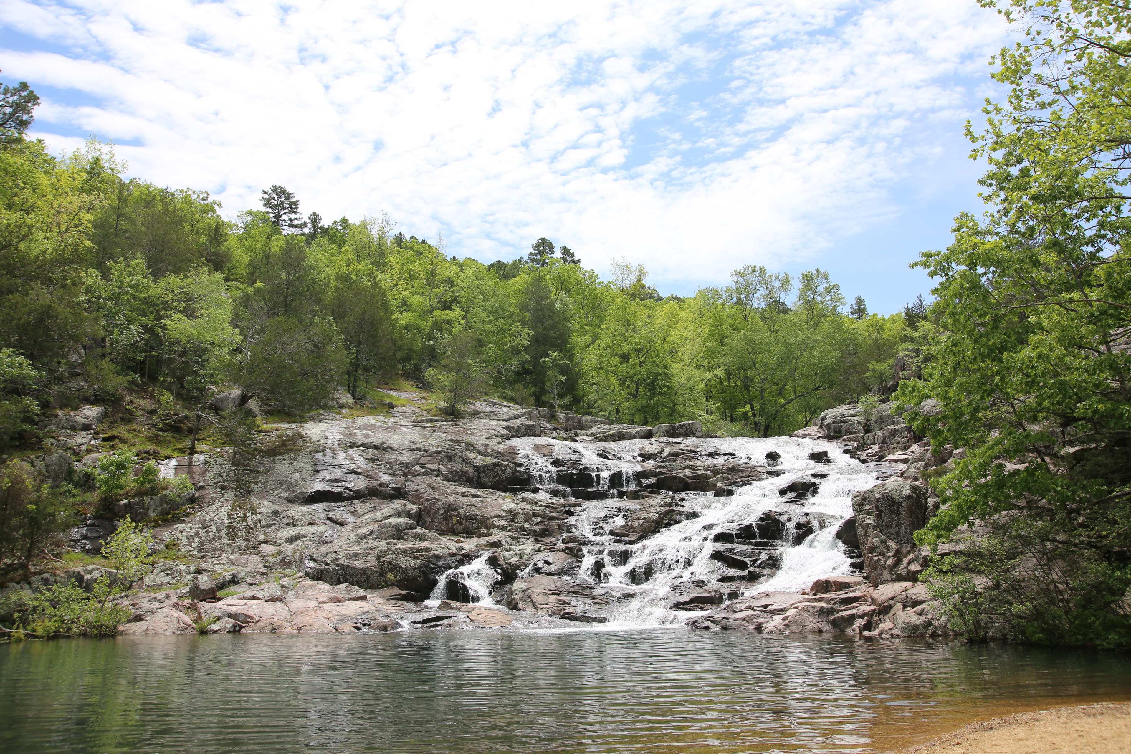
Why the Jacks Fork is different
The Jacks Fork is the Current's wilder, clearer little sister. Rain-dependent and flashy above Alley Spring, spring-stabilized below it, and protected end to end as part of the Ozark National Scenic Riverways — the first national park area created to protect a river system, established by Congress on August 27, 1964 (Public Law 88-492). When it's running right — roughly 2.5–3.0 ft on the Alley Spring gauge — it is arguably the most beautiful float in Missouri.
- Rain-dependent and flashy. Above Alley Spring the Jacks Fork has no large spring inputs. It rises and falls faster than any other Ozark float stream and can go from floatable to unfloatable in a day. Check the gauge the morning you launch, not the week before.
- Clear, narrow, and intimate. Smaller than the Current and tight against bluffs and boulders. Lighter craft — kayaks and canoes — beat rafts on the upper river.
- Two rivers in one. The upper canyon from the Prongs to Bay Creek is wild, technical spring-runoff water with Jam Up Cave's 80-foot arch. Below Alley Spring's ~81 million gallons a day, the river stabilizes and floats reliably into summer.
- Protected end to end. Part of ONSR and NPS-managed, with free gravel-bar camping and the same Leave No Trace rules as the Current.
Pick your float
The Jacks Fork divides cleanly into character zones. Pick by how much time you have, who you’re paddling with, and what you want to see.
Upper Jacks Fork — The Prongs to Bay Creek
Wild, narrow, and rain-dependent. The upper canyon needs spring runoff or a recent rain to float; in exchange you get Jam Up Cave's 80-foot arch, Blue Spring, and the most dramatic small-river scenery in the Ozarks. Often bony or unfloatable by mid-summer.
Lower Jacks Fork — Alley Spring to Two Rivers
Below Alley Spring's ~81 million gallons a day the river stabilizes and floats reliably through summer. The red Alley Mill, easy Class I water, and the Eminence-to-Two-Rivers finish make this the family-friendly half.
Springs & sights worth stopping for
Outfitters, campgrounds & lodging
Every active service that operates on the Jacks Fork. Tap a phone number to call; tap Reserve to book.
Water levels & gauge
Check the gauge before you load the truck. The trend over the last week matters more than today’s number — a falling river after a flood is fine; a rising river isn’t.
Regulations
When to go
Drive times
Before you launch & on the water
- PFDs (legally required — one per person, worn by anyone under 7).
- Dry bag for keys, phone, ID, and a fleece. The narrow upper river flips beginners in riffles.
- Drinking water (a gallon per person per day in summer) — even clear ONSR springs aren't safe to drink.
- Reef-safe sunscreen and a hat. Bluff shadows are short.
- Hard-soled water shoes. Gravel bars and bedrock are sharp.
- A gauge check the morning you launch — the Jacks Fork rises and drops faster than anything else in the Ozarks.
- Trash bag — pack out what you bring in.
- Check the gauge that morning. Watch the Alley Spring gauge (USGS 07065495). The river can climb or drop a foot overnight; yesterday's reading isn't today's river.
- Upper canyon = spring runoff. Buck Hollow to Bay Creek needs water. By July it's usually too low — float the lower river below Alley Spring instead.
- Camp on gravel bars. Free and non-reservable on most NPS sections: 200 ft from springs and tributaries, no cutting live wood, pack out ash.
- Respect flash floods. A narrow canyon means fast rises. If rain is forecast or the gauge is climbing, postpone — this is the flashiest float in the Ozarks.
Nearby attractions
FAQ

