Current River
Float Trip Guide.
Live conditions, the best float sections by mile marker, springs to stop at, the full outfitter and campground directory, and a built-in trip planner — your complete guide to floating Missouri's Current River.

Today on the Current
Eddy reads the gauge, the trend, and the forecast and writes a fresh take a few times a day. Use it as one input alongside your own judgment, the outfitter you’re renting from, and the most recent NPS advisories.
Why the Current is different
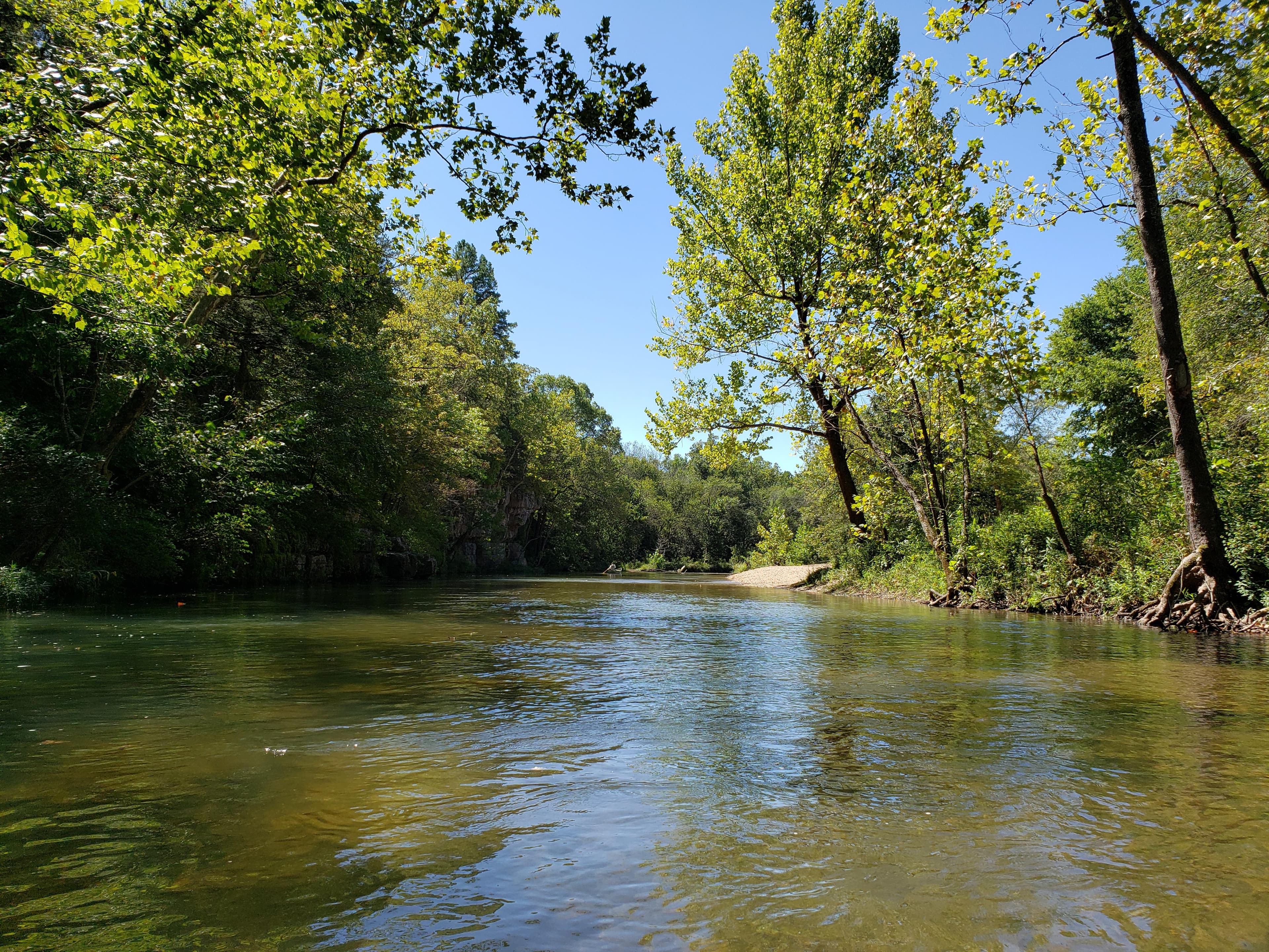
The Current is Missouri's crown jewel float river. Spring-fed, gin-clear, and protected end-to-end as the first national park area created to protect a river system — the Ozark National Scenic Riverways, established by Congress on August 27, 1964 (Public Law 88-492). It floats reliably from snowmelt through Labor Day and well into fall.
- Spring-fed reliability. Big Spring alone pumps about 290 million gallons a day into the river. Even in August, the Current is floatable when most Ozark streams are bony.
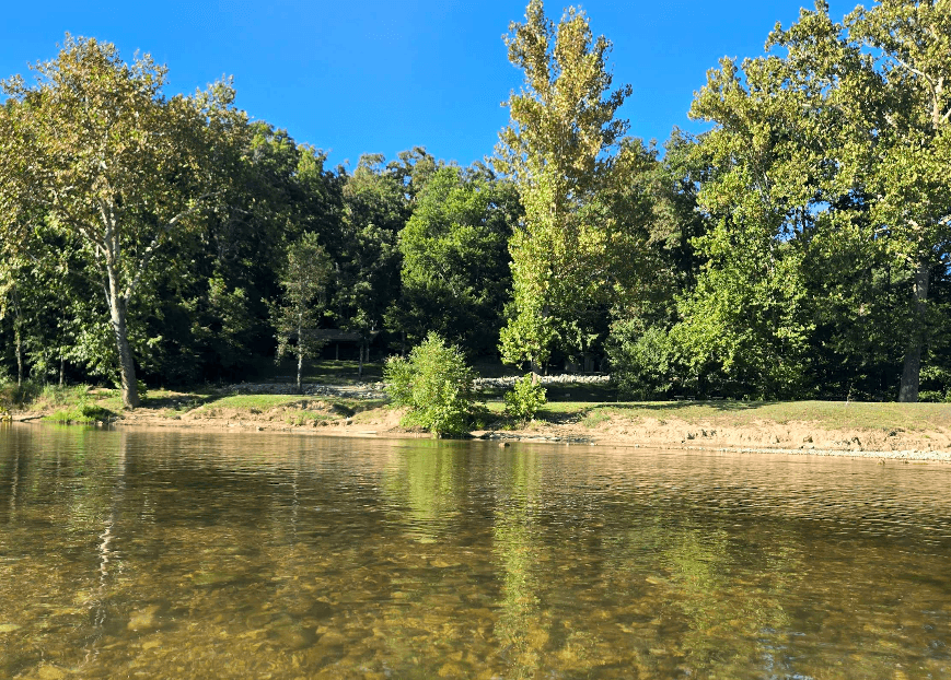
- Visibility you can see your paddle blade through. Cold, calcium-rich groundwater keeps the channel clear most of the year. Bring polarized sunglasses; you'll see fish.
- Protected wilderness. The Ozark National Scenic Riverways was the first NPS unit established to protect a river. No motorboats above Akers Ferry except for short stretches.
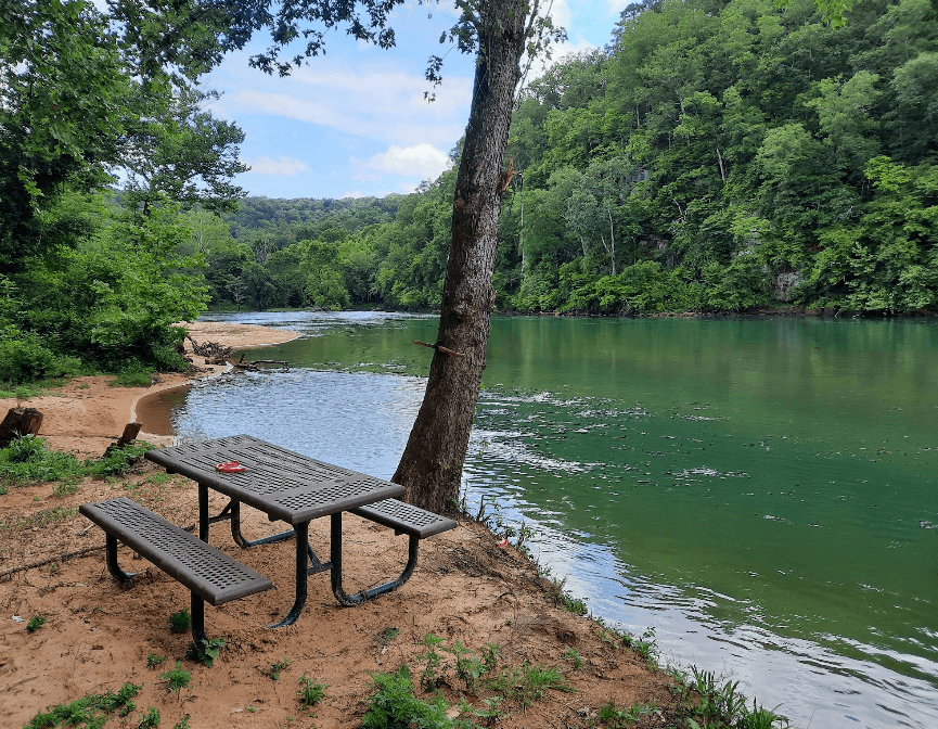
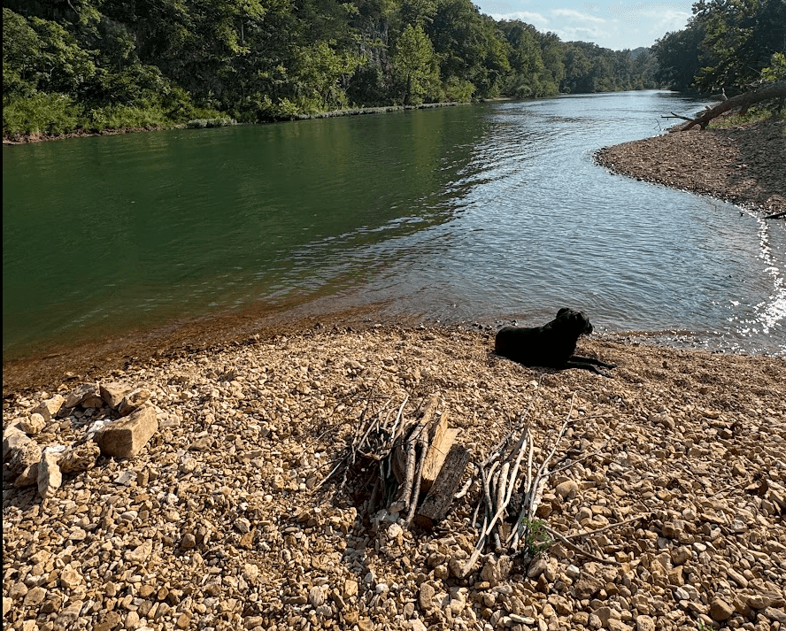
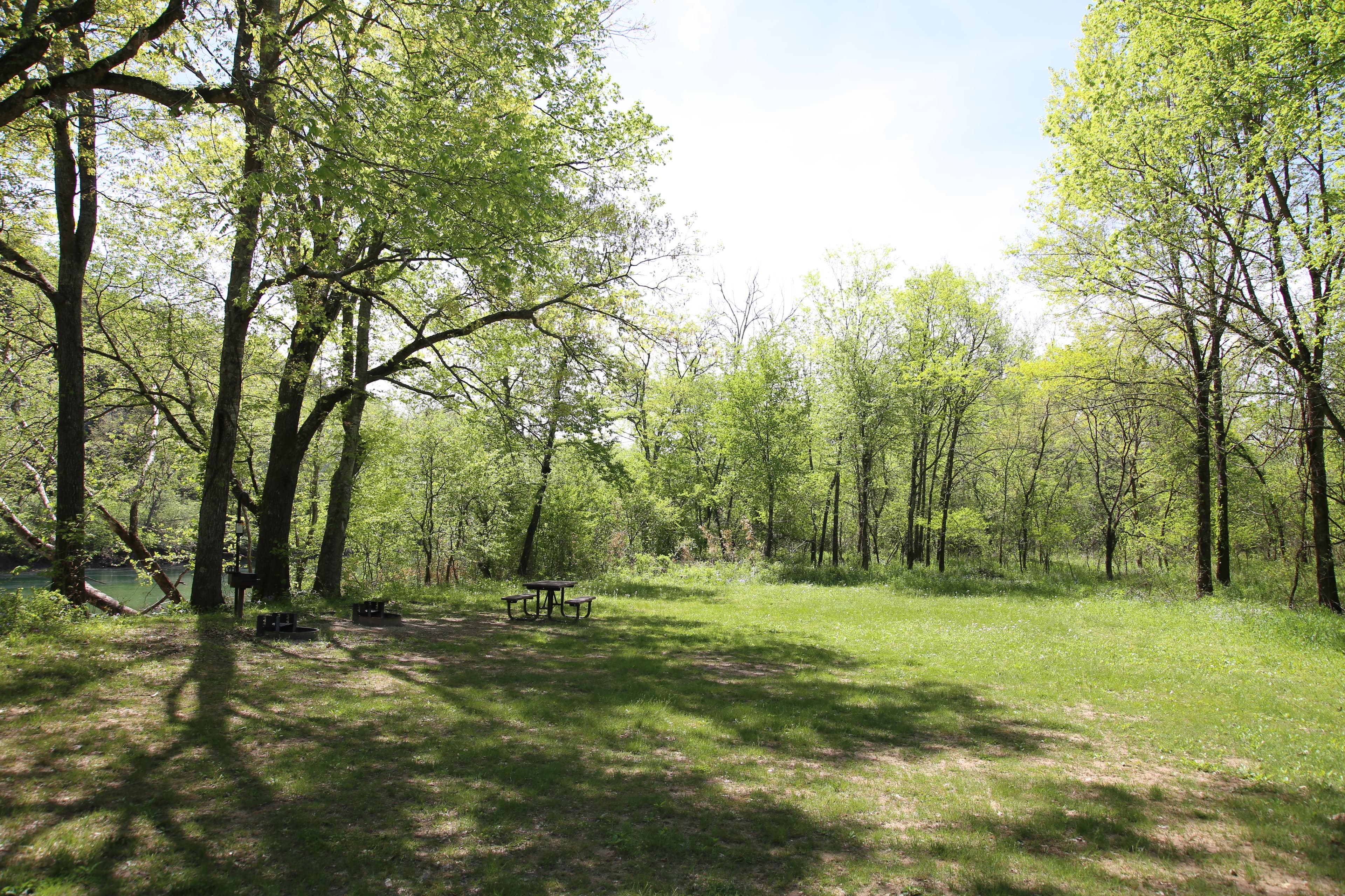
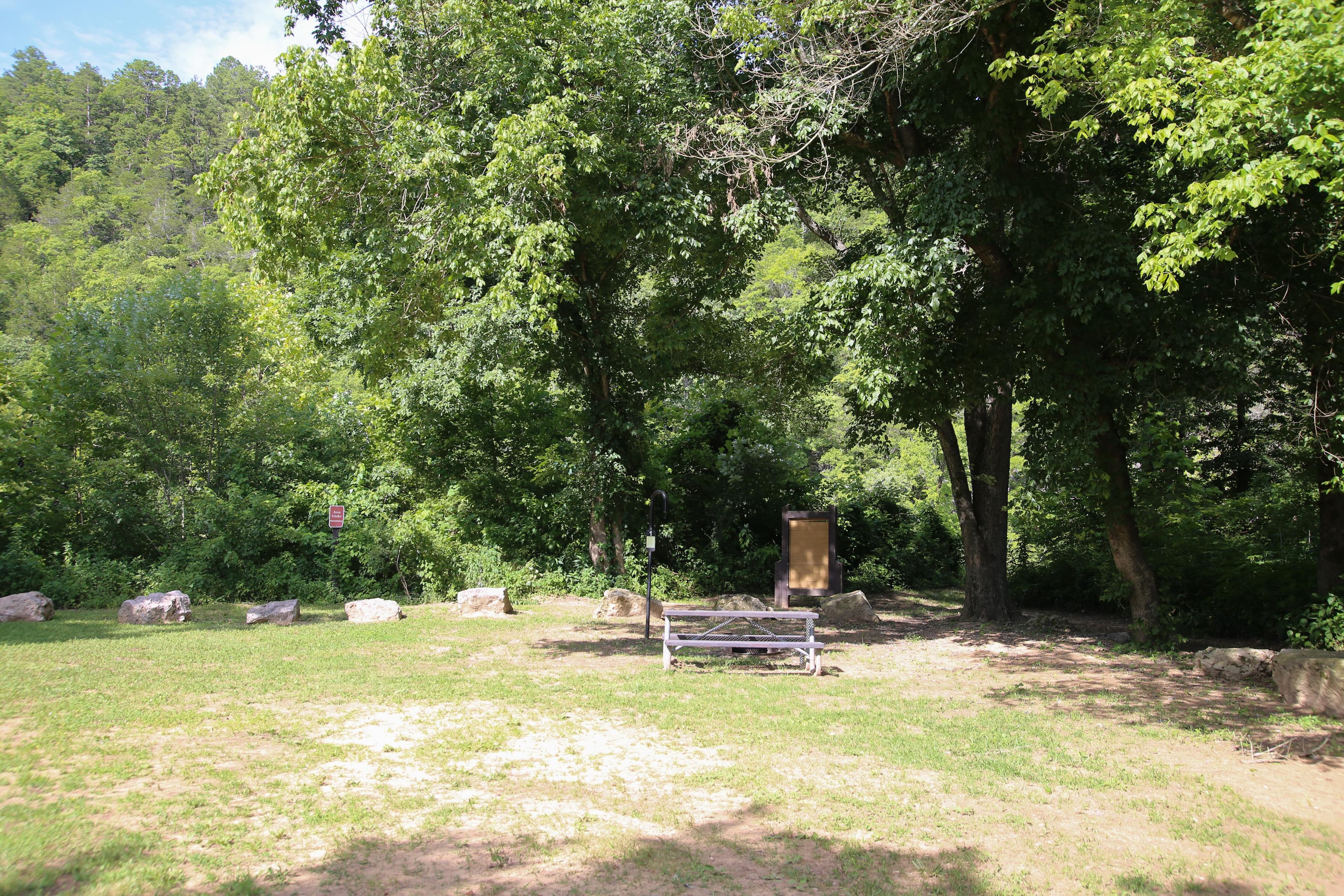
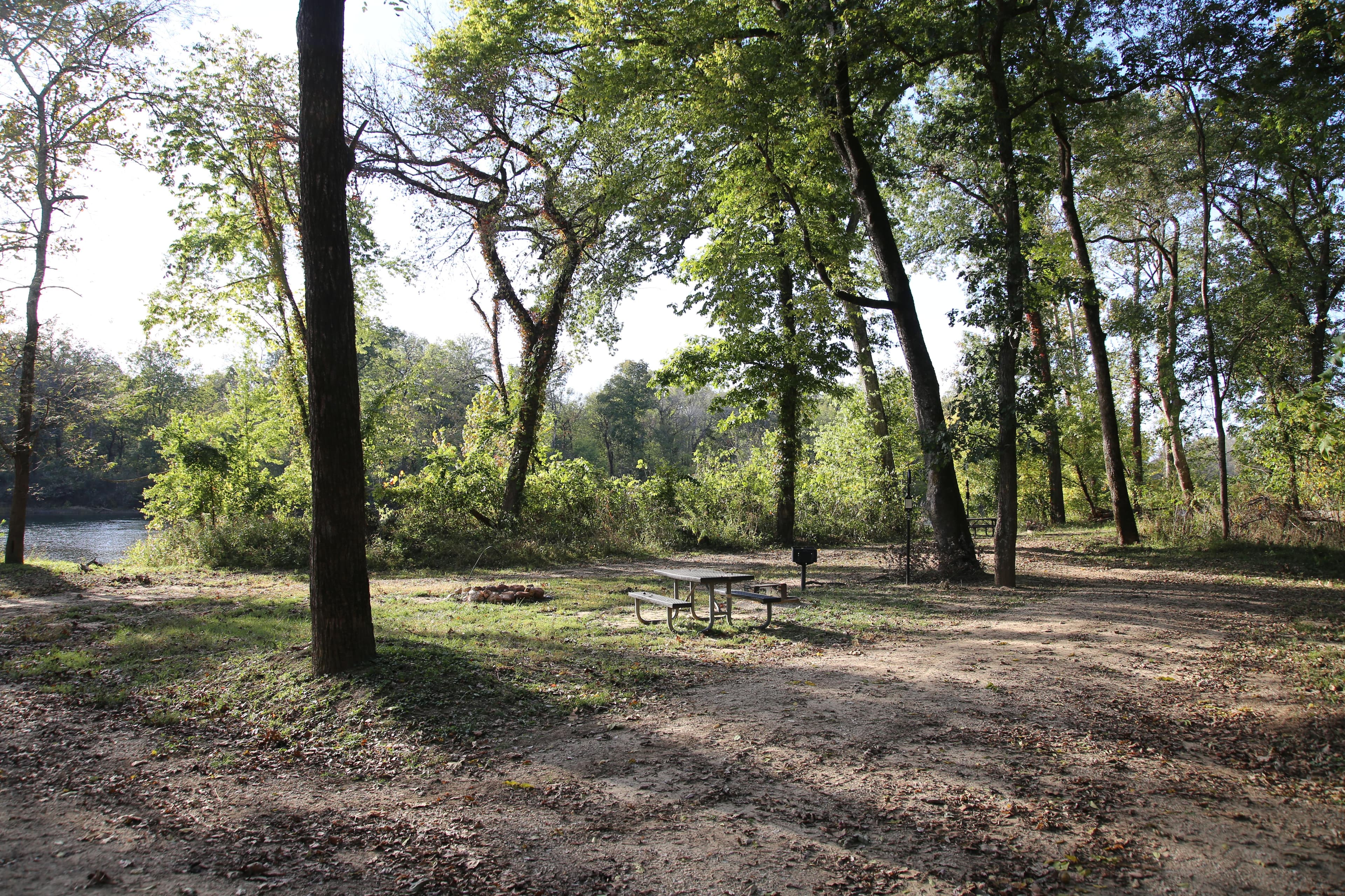
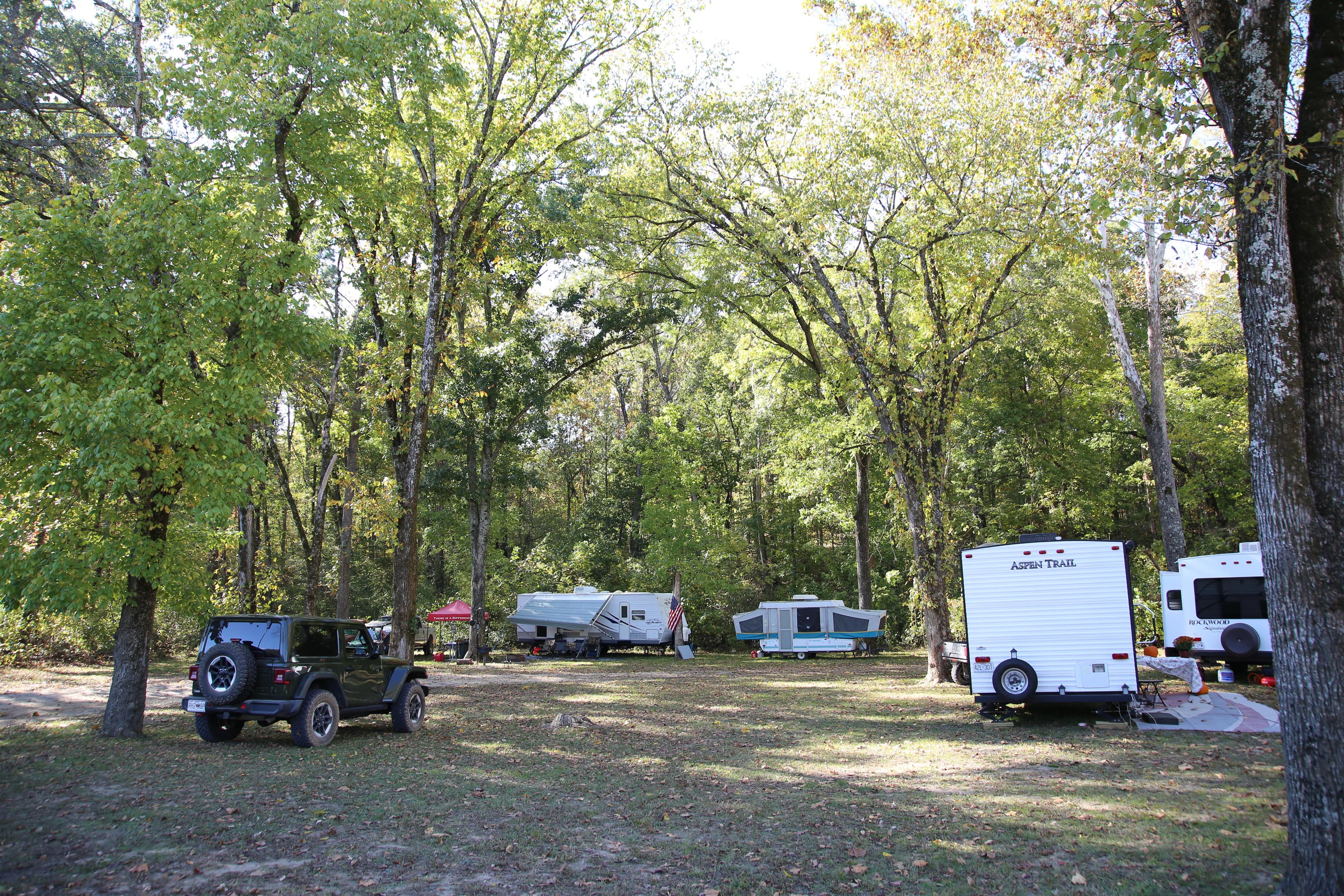
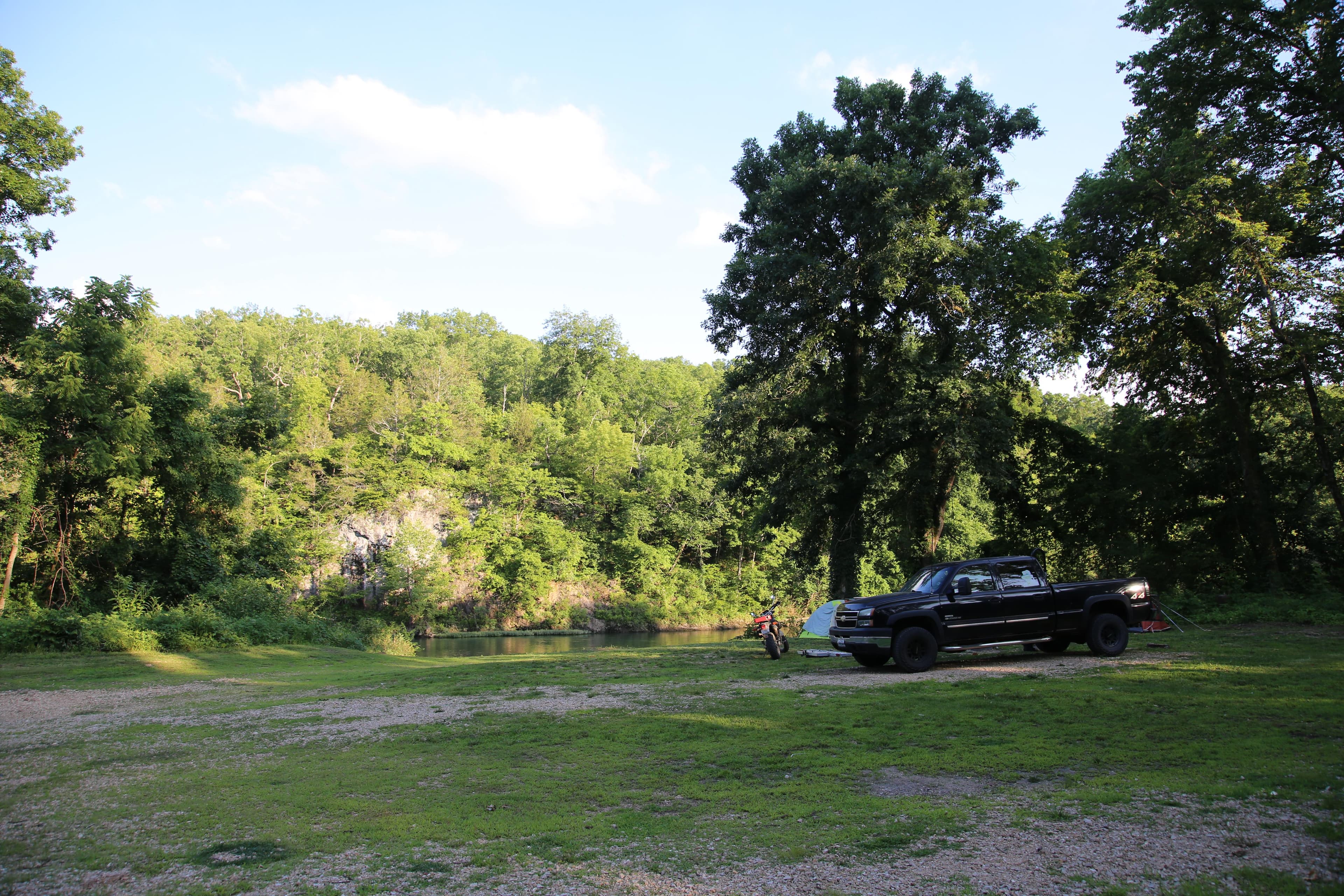
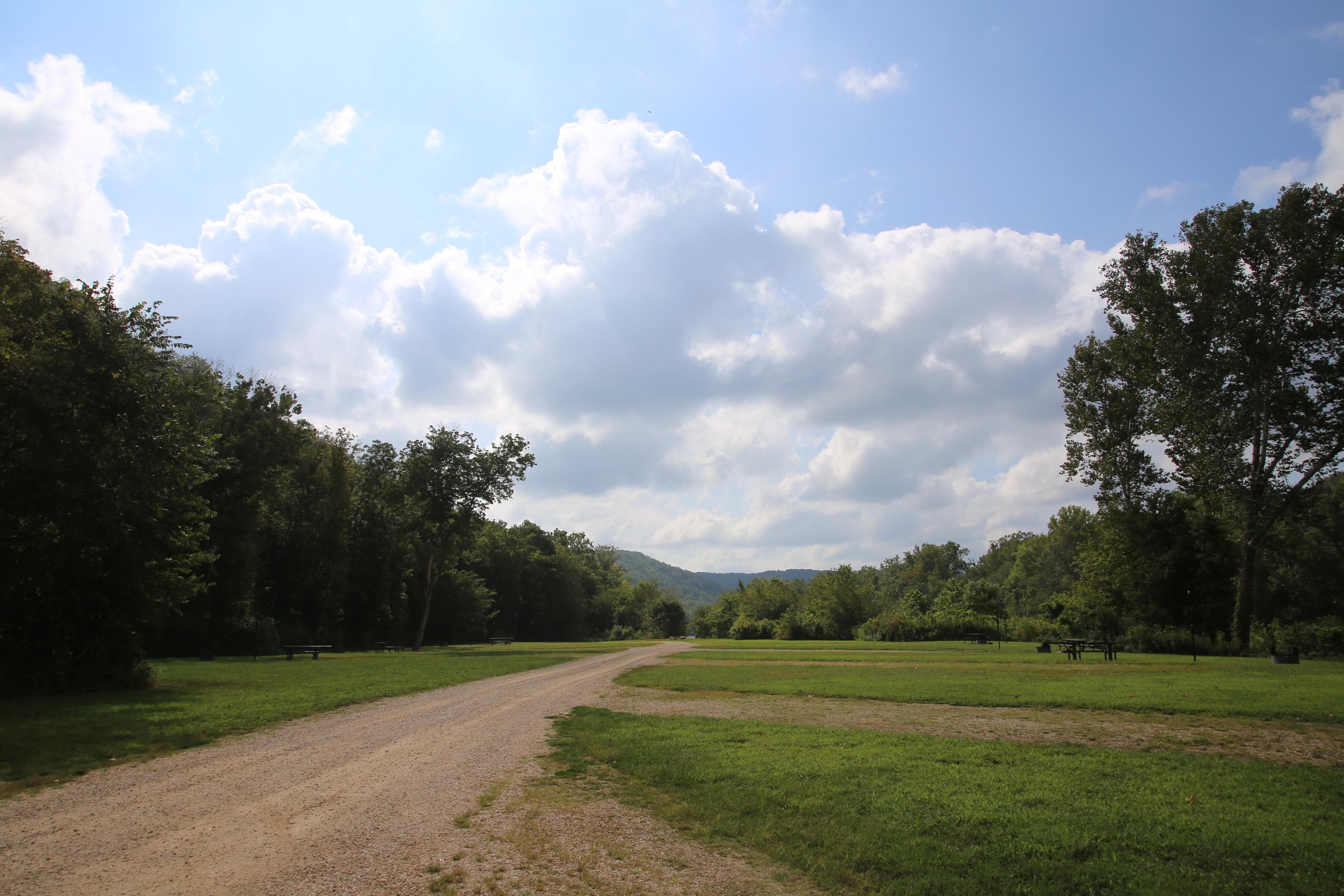
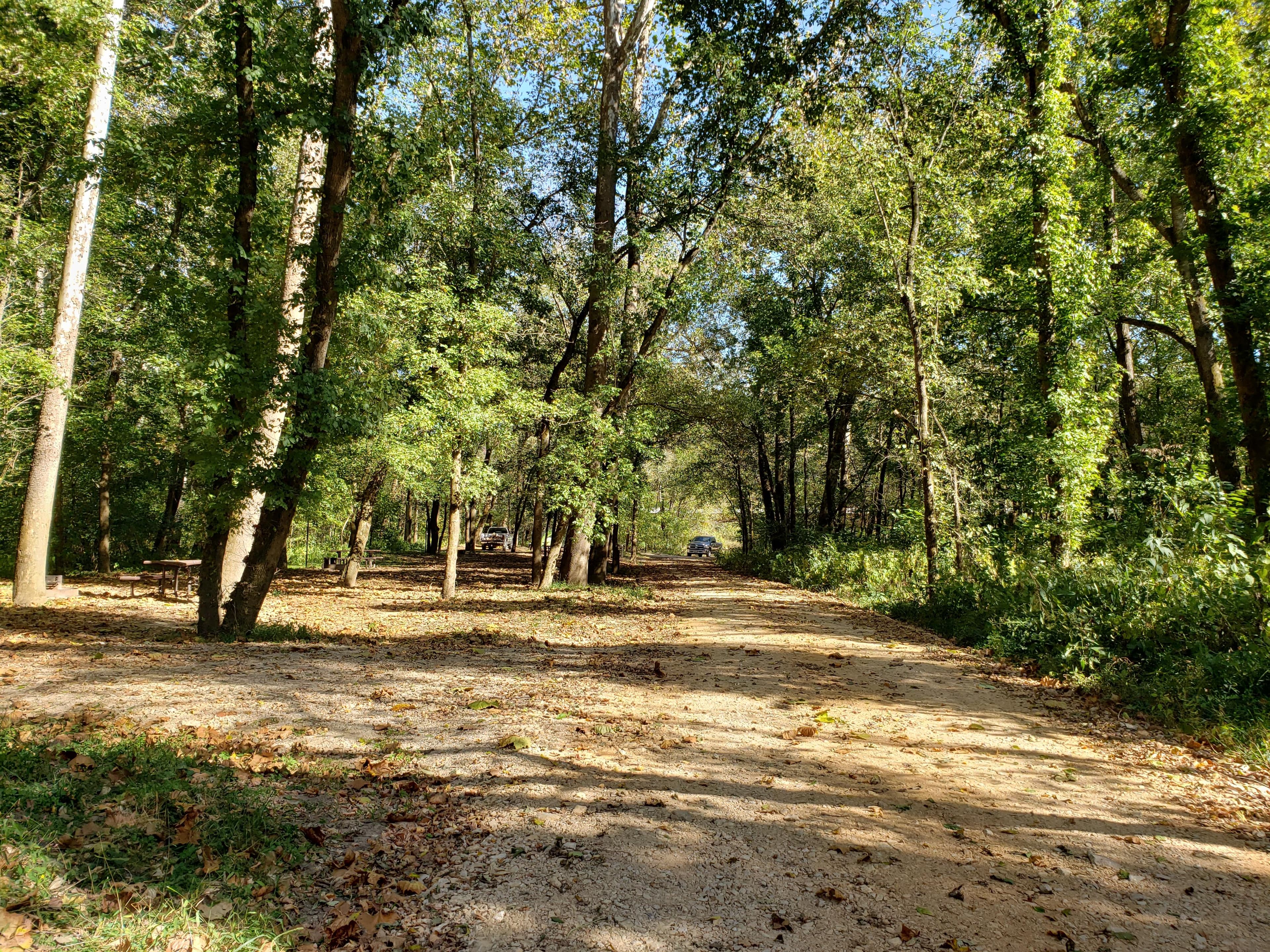
- Camping included. Free gravel-bar camping is allowed on most stretches with a Leave No Trace mindset, plus 20+ developed access points and a half-dozen NPS campgrounds.
Pick your float
The Current divides cleanly into character zones. Pick by how much time you have, who you’re paddling with, and what you want to see.
Upper Current — Baptist Camp to Akers
Cold, technical, and spring-stop heavy. The trout section above Cedar Grove is fly-and-artificial-only; below it the springs run between Cedar Grove and Akers passes Welch Spring's ruined hospital. Bony in late summer above Welch.

Middle Current — Akers to Two Rivers
The postcard Current. Akers→Pulltite is the classic family float past Cave Spring; below Pulltite the river opens into the bluff-and-gravel-bar middle that paddlers come back for year after year.
Lower Current — Two Rivers to Doniphan
Three different rivers below Two Rivers: the multi-day NPS run from Powder Mill through Big Spring, then the Mark Twain National Forest drift to Doniphan, and finally the slow water down to the Black River confluence near Pocahontas. Motorboats become legal as you go south.
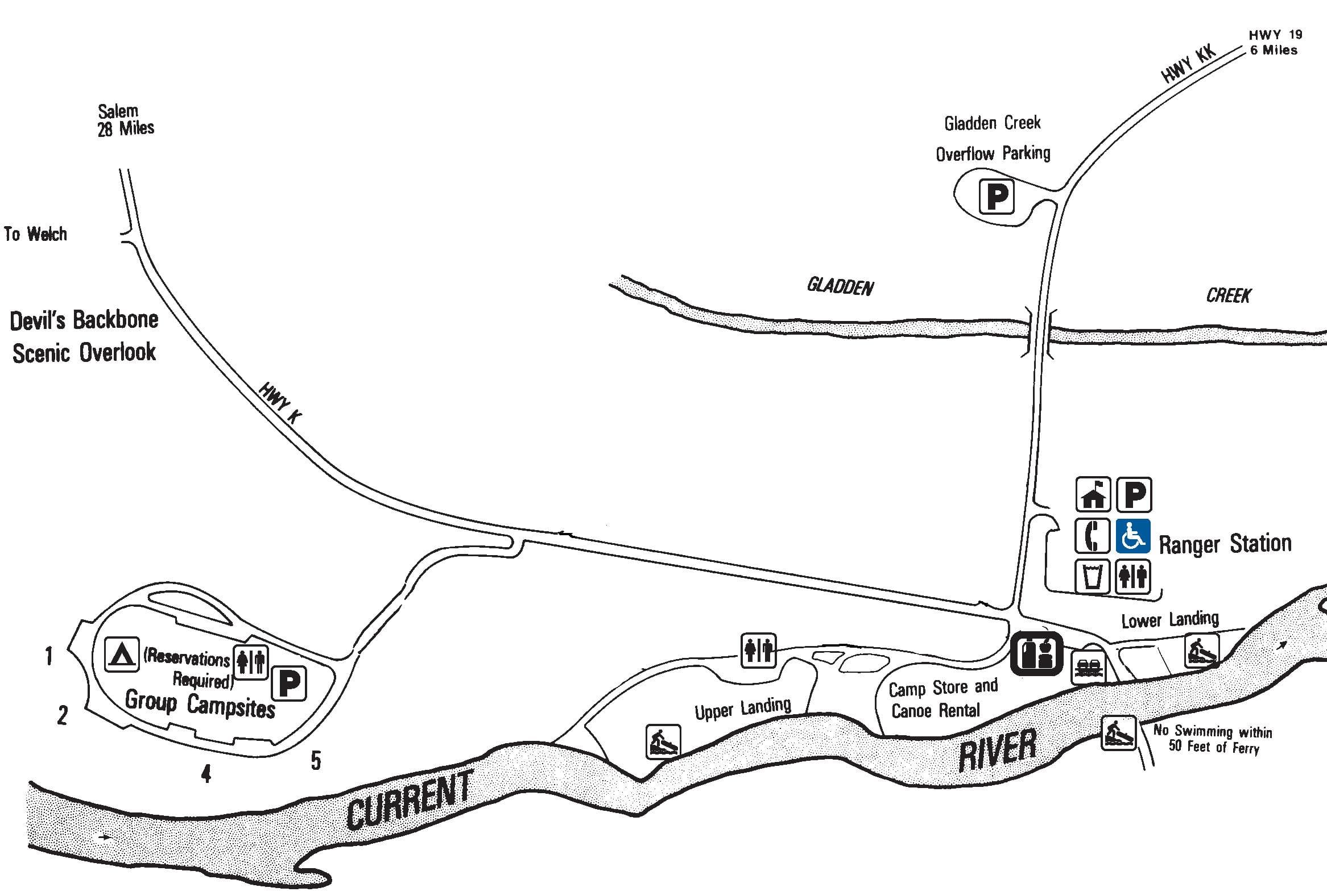
Springs & sights worth stopping for
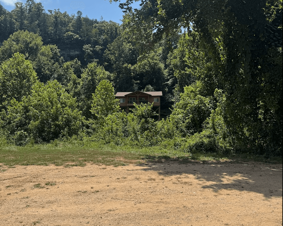
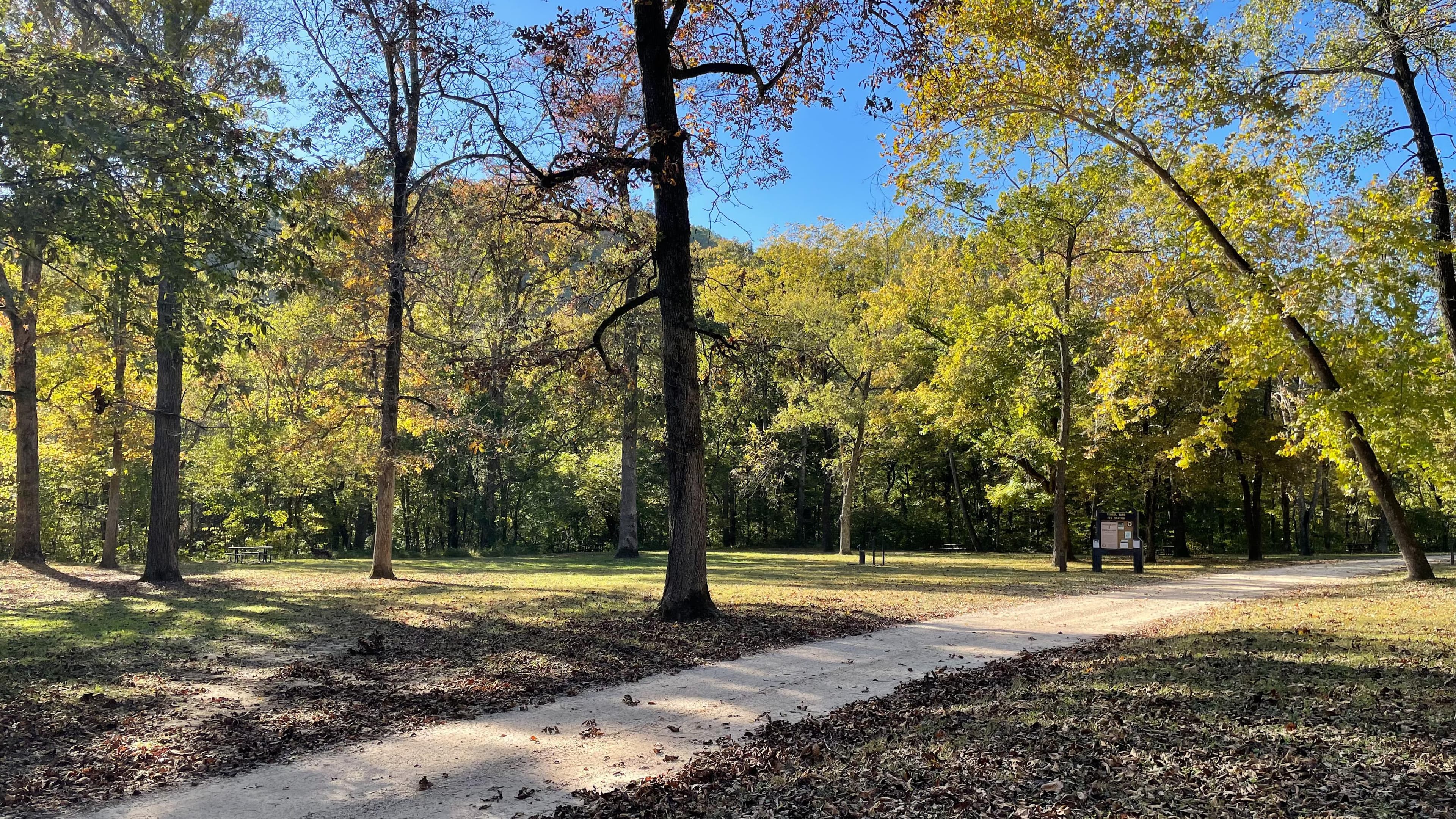
Outfitters, campgrounds & lodging
Every active service that operates on the Current. Tap a phone number to call; tap Reserve to book.
Water levels & gauge
Check the gauge before you load the truck. The trend over the last week matters more than today’s number — a falling river after a flood is fine; a rising river isn’t.
Regulations
When to go
Drive times
Before you launch & on the water
- PFDs (legally required — one per person, worn by anyone under 7).
- Dry bag for keys, phone, ID, and a fleece. Phones tumble out of canoes.
- Drinking water (a gallon per person per day in summer) — the river is clear but not safe to drink.
- Reef-safe sunscreen and a hat. Bluff shadows are short; sunburn is the #1 trip-ender.
- Hard-soled water shoes. Gravel bars are sharper than they look.
- Trash bag — pack out what you bring in, and an extra handful of someone else's.
- Launch early. Outfitter shuttle bus rolls 8–10 a.m. on summer weekends. Be on the water by 9 and you'll have most of the river to yourself for two hours.
- Camping etiquette. Gravel bars only, 200 ft from springs and tributaries, no cutting live wood, pack out ash.
- Don't paddle drunk. Most rescues on this river are alcohol-related. The current is gentle; the cold spring water is not.
- Phone service is spotty. Download your float plan and the Eddy map ahead of time; service generally returns near Van Buren.
Nearby attractions
FAQ