Low - Scraping Likely
Jacks Fork River
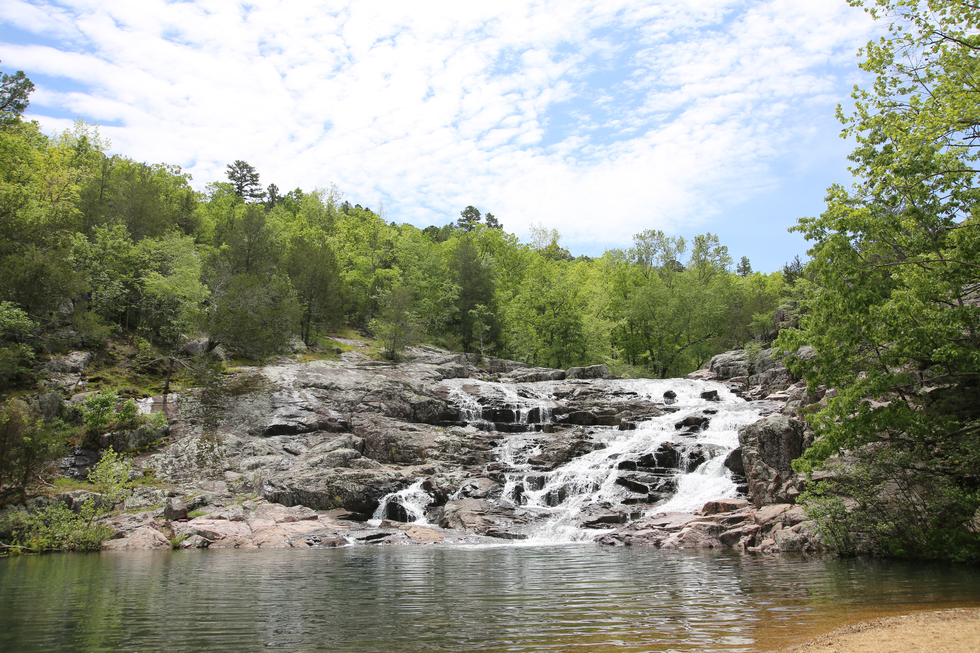
Major tributary of the Current River, part of the Ozark National Scenic Riverways. Known beautiful views and the stunning Alley Spring mill.
Gauge height
—ft
Flow
—cfs
Updated
—
54.7 miles Class I-II Ozarks
Live report
USGS gauge readings, updated hourly. Pick a gauge near your put-in.
Ready to float? Build your trip.
Pick a put-in and take-out and we'll estimate float time, mileage, and shuttle — then give you a link to share with your crew.
Access points
Ordered upstream → downstream. Tap a stop to start a float plan from there.
mi 0
MDC South Prong Access
mi 7
Buck Hollow
mi 9
Salvation Army Camp
mi 10
Blue Spring
mi 11
Bachers
mi 16
Rymers Access
mi 25
Bay Creek
mi 31
Alley Spring
mi 37
Eminence City Access
mi 42
Shawnee Creek
mi 44
Two Rivers
River guide
Jacks Fork River Float Trip Guide: Springs, Floats & Outfitters
Float the Jacks Fork with live conditions, mile-by-mile sections, springs and Jam Up Cave, the full outfitter directory, the Alley Spring gauge, and a built-in trip planner — your complete guide to Missouri's wildest ONSR float.
Read the full Jacks Fork River guide