Flowing - Ideal Conditions
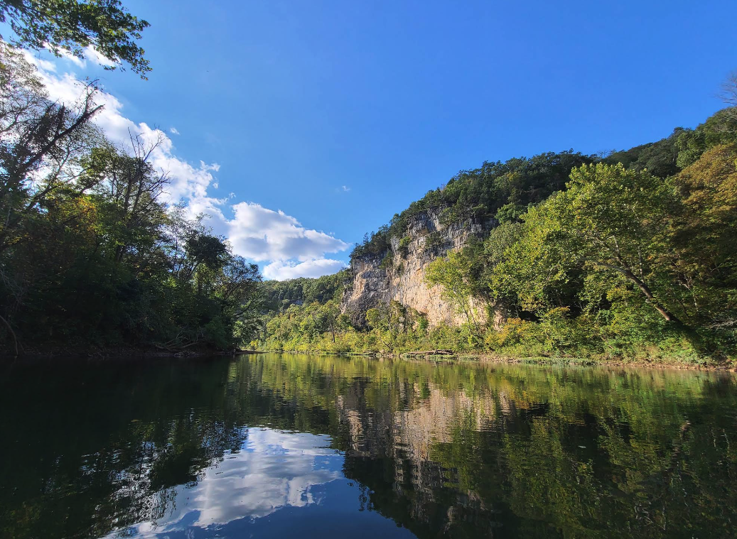
Meramec River
Popular float stream in east-central Missouri, known for scenic bluffs, caves, and easy access. Flows through the Ozarks with numerous gravel bars and camping spots.
Gauge height
—ft
Flow
—cfs
Updated
—
108.5 miles Class I Ozarks
Live report
USGS gauge readings, updated hourly. Pick a gauge near your put-in.
Ready to float? Build your trip.
Pick a put-in and take-out and we'll estimate float time, mileage, and shuttle — then give you a link to share with your crew.
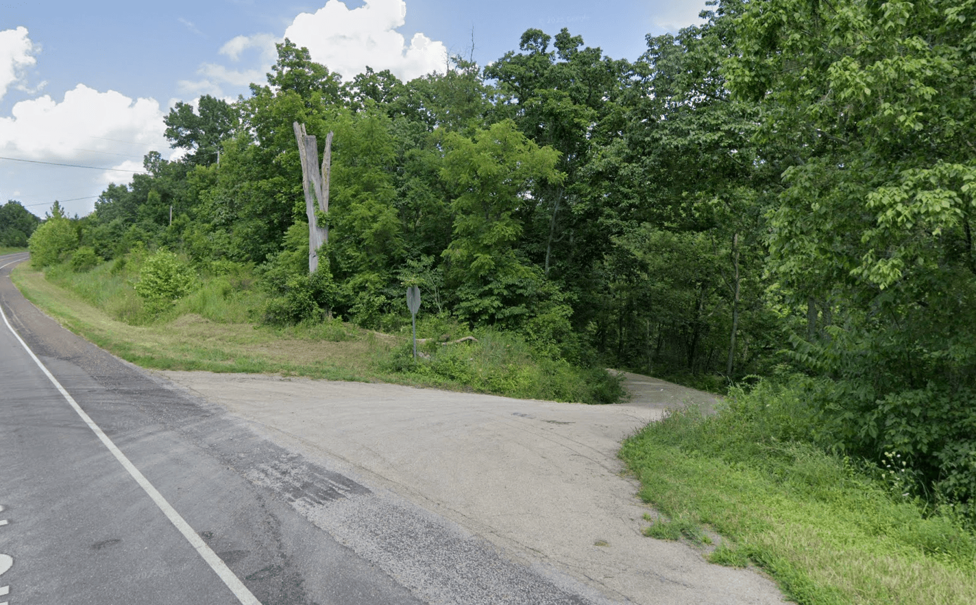
Access points
Ordered upstream → downstream. Tap a stop to start a float plan from there.
mi 0
Short Bend Low Water Bridge
mi 1
Short Bend
mi 6
Highway M Low-Water Bridge
mi 9
Cook Station
mi 14
Wesco
mi 17
Wesco–Highway U Access
mi 19
Highway U Access
mi 26
Woodson K. Woods Memorial CA
mi 28
Maramec Spring Park
mi 35
Scotts Ford
mi 41
Indian Springs Resort
mi 42
Riverview Public Access
mi 47
Lucky Clover Resort
mi 50
Bird's Nest Access
mi 55
Garrison's River Resort
mi 68
Onondaga Cave State Park
mi 69
Ozark Outdoors Resort
mi 74
Campbell Bridge
mi 74
Riverview Ranch
mi 79
Blue Springs Creek Conservation Area
mi 83
Sappington Bridge
mi 88
Meramec State Park
mi 92
Spanish Claim Access
mi 94
Meramec Caverns Campground
mi 95
Sand Ford
mi 112
Red Horse Access
mi 127
River 'Round Conservation Area
mi 132
Chouteau Claim
mi 136
Robertsville MO State Park
River guide
Meramec River Float Trip Guide: Caves, Floats & Outfitters
Float the Meramec — St. Louis's closest quality float — with live conditions, mile-by-mile sections, Onondaga and Meramec Caverns, Maramec Spring, the outfitter directory, fishing regs, and a built-in trip planner.
Read the full Meramec River guide