Flowing - Ideal Conditions
Current River
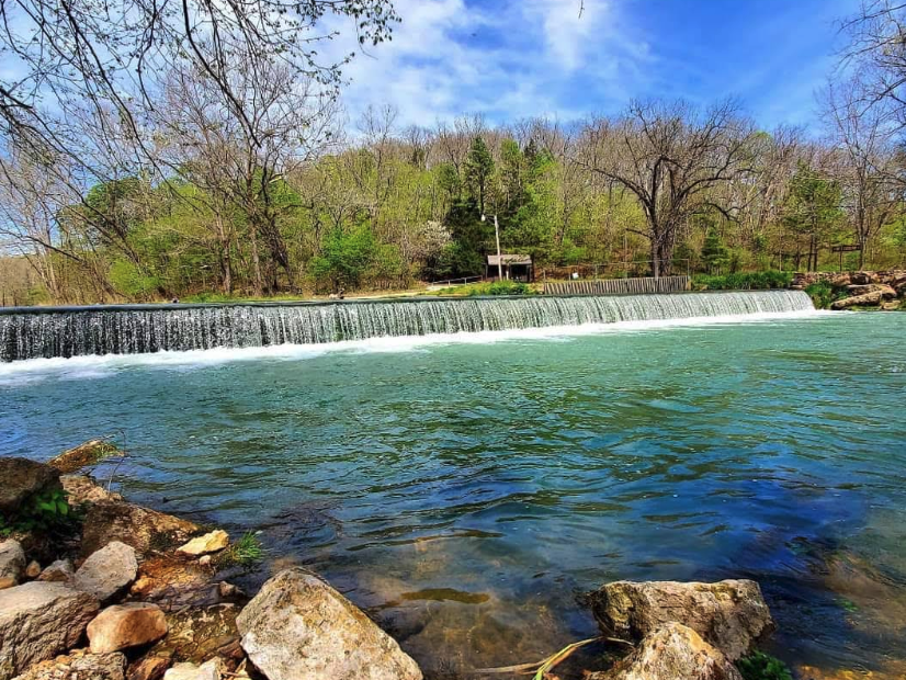
One of the first National Scenic Riverways, featuring crystal-clear spring-fed waters. The Current River is renowned for its blue-green color from numerous large springs including Big Spring.
Gauge height
—ft
Flow
—cfs
Updated
—
134.2 miles Class I-II Ozarks

Live report
USGS gauge readings, updated hourly. Pick a gauge near your put-in.
Ready to float? Build your trip.
Pick a put-in and take-out and we'll estimate float time, mileage, and shuttle — then give you a link to share with your crew.
Access points
Ordered upstream → downstream. Tap a stop to start a float plan from there.
mi 0
Montauk State Park
mi 1
Tan Vat
mi 2
Baptist Camp
mi 9
Cedargrove
mi 12
Flying W Access
mi 17
Akers Ferry
mi 26
Pulltite Spring
mi 34
Sinking Creek Campground
mi 35
Round Spring
mi 40
Primitive Access
mi 41
Grassy Creek Access
mi 43
Williams Landing
mi 46
Bee Bluff
mi 48
Jerktail Landing
mi 50
Broadfoot
mi 53
Two Rivers
mi 59
Powder Mill
mi 64
Roberts Field
mi 69
Log Yard Campground
mi 78
Waymeyer
mi 86
Van Buren Riverfront Park
mi 90
Big Spring
mi 94
Big Tree
mi 95
Clubhouse
mi 99
Hickory Landing
mi 99
Catarac Landing
mi 103
Grubb Hollow
mi 105
Gooseneck Campground
mi 107
Bay Nothing Boat Ramp
mi 114
Compton Recreation Area
mi 120
Deer Leap Recreation Area
mi 120
Float Camp Recreation Area
—
Van Buren City Access
River guide
Current River Float Trip Guide: Springs, Floats, and Outfitters
Live conditions, the best float sections by mile marker, springs to stop at, the full outfitter and campground directory, and a built-in trip planner — your complete guide to floating Missouri's Current River.
Read the full Current River guide