
Loading…
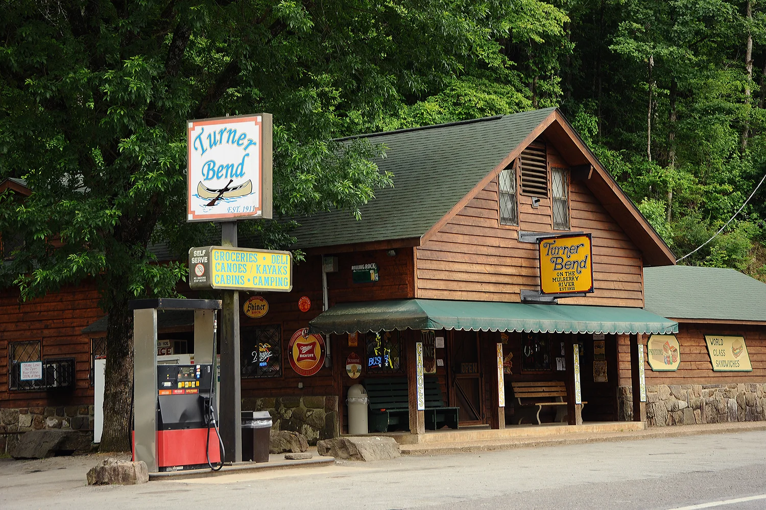
The Mulberry is Arkansas's premier float and whitewater river: a ~70-mile, free-flowing (undammed), spring- and rain-fed stream that drops out of the Boston Mountains of the Ozark National Forest and runs generally west-southwest to the Arkansas River near the town of Mulberry. It offers scenic Ozark canyon floating with tree-lined bluffs and reliable Class I-II rapids that stiffen to II+/III at higher water. It is notoriously FLASHY - rising and falling several feet within a day after rain - and is typically runnable only from late October to mid-June, often becoming too low to float in the hot summer months. Popular access runs cluster on the upper/middle river along Highway 215 (Wolf Pen, Byrd's, High Bank, Redding) down to Turner Bend at Cass on Highway 23.
USGS gauge readings, updated hourly. Pick a gauge near your put-in.
Pick a put-in and take-out and we'll estimate float time, mileage, and shuttle — then give you a link to share with your crew.
Ordered upstream → downstream. Tap a stop to start a float plan from there.